/ ARCHIVAL PIGMENT
Wahiba Sands /
Photographs
PhotographsWahiba SandsSHARQIYA SANDS / OMAN2017
Sharqiya Sands / Oman
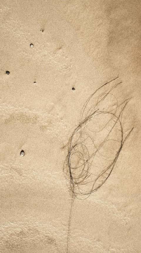
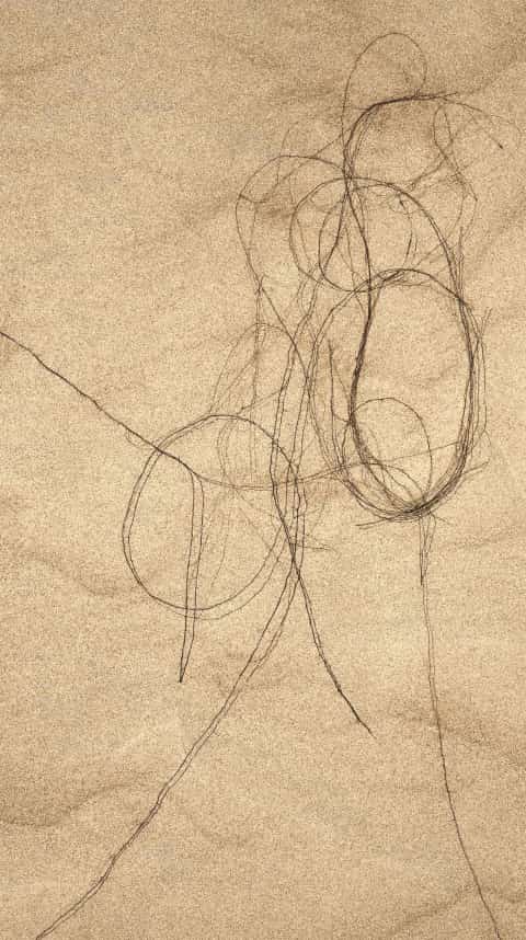
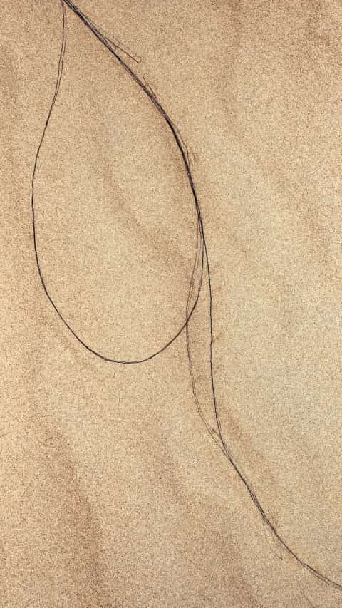
A survey of the dune surface, shaped by monsoon and Shamal winds — and by the Bedouin who traverse them.
The Sharqiya Sands, long known as the Wahiba Sands, form a vast sand sea in eastern Oman named for the Bani Wahiba tribe. The dunes run roughly 180 kilometers north to south and 80 kilometers east to west, covering about 12,500 square kilometers.
Their forms record a much longer history: wind, monsoon cycles, and late Quaternary shifts in sea level have shaped the movement and accumulation of the sands for hundreds of thousands of years.
Bedouin villages, camel routes, temporary camps, and open night skies give the Wahiba Sands their human scale.
Wahiba / 2017
/ ILFORD GALERIE GOLD FIBRE SILK
/ LAUMONT PHOTOGRAPHIC, NEW YORK
- Process
- Archival pigment print
- Paper
- Ilford Galerie Gold Fibre Silk
- Printer
- Laumont Photographic, New York
- Edition
- of 3 + 2 AP
Wahiba / Photographs
- Year
- 2017
- Location
- Sharqiya Sands, Oman
- Geology
- Late Quaternary sand sea
- Equipment
- Leica S (Typ 007)
- Survey Type
- Field Photography
EDITION OF 3, 2 APS
EDITION OF 3, 2 APS
Wahiba