/ Ilford Galerie Gold Fibre Silk
Greenland /
Photographs
PhotographsGreenlandGreenland Ice Sheet /
UNESCO World Heritage Site2017
Glacial surface / summer meltwater hydrology
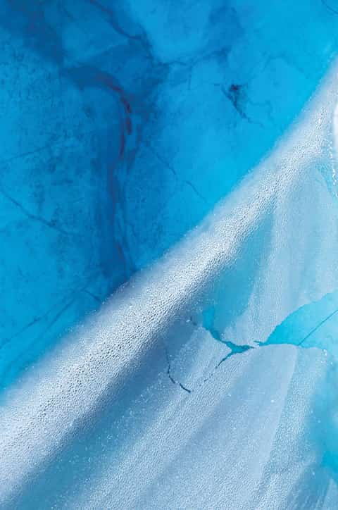
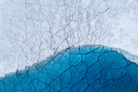
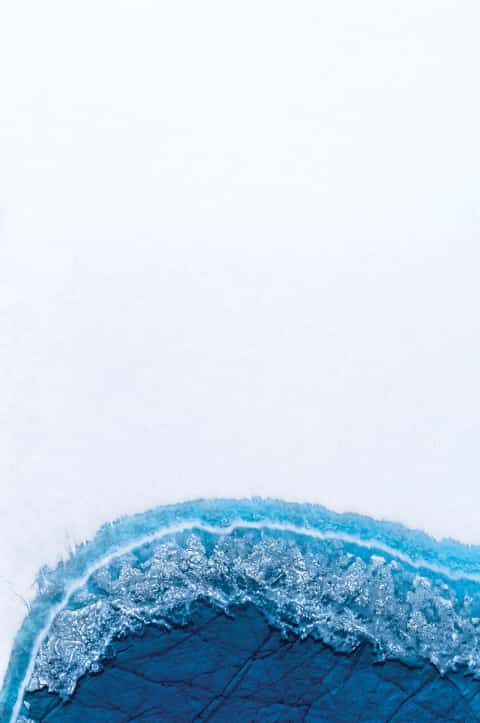
Meltwater gathers in luminous blue basins, tracing a temporary geography of fracture, depth, and flow.
The Greenland Ice Sheet covers about 1.7 million square kilometers and exceeds 3 kilometers in thickness. Its layered ice records past atmospheres, snowfall, volcanic events, and climatic change.
At its western edge, the UNESCO-listed Ilulissat Icefjord receives ice from Sermeq Kujalleq, one of the world's fastest-moving and most active glaciers.
During summer, meltwater forms supraglacial lakes and drainage channels. Water drains through crevasses and moulins, refreezes, or flows toward the ice margin. The survey records the ice sheet's transient hydrologic network.
2017
Greenland / 2017
/ Archival Pigment
/ Laumont Photographic, New York
- Process
- Archival pigment print
- Paper
- Ilford Galerie Gold Fibre Silk
- Printer
- Laumont Photographic, New York
- Edition
- of 3 + 2 AP
Ilulissat, Greenland / UNESCO World Heritage Site
- Years
- 2017
- Location
- Ilulissat, Greenland
- Subject
- Greenland Ice Sheet / Summer Melt Season
- Equipment
- Leica S (Typ 007)
- Survey Type
- Aerial Photography
Glacial Surface / Summer Meltwater Hydrology
An aerial study of ice, movement, and summer meltwater hydrology.
Exact maximum dimensions vary by artwork · Edition of 3 + 2 AP
The Greenland Ice Sheet covers about 1.7 million square kilometers and exceeds 3 kilometers in thickness. Its layered ice records past atmospheres, snowfall, volcanic events, and climatic change.
During summer, meltwater forms supraglacial lakes and drainage channels. Water drains through crevasses and moulins, refreezes, or flows toward the ice margin. The survey records the ice sheet's transient hydrologic network.
At its western edge, the UNESCO-listed Ilulissat Icefjord receives ice from Sermeq Kujalleq, one of the world's fastest-moving and most active glaciers.
Edition of 3 + 2 AP
Greenland